Drone capture of a property

Drone Services

Aerial content for listings, inspections, and site documentation.

FAA-certified capture for agents, owners, and operators who need sharp coverage, fast turnarounds, and dependable visual documentation.

Service Packages

Basic

$175

10-15 photos

Standard

$250

15-20 photos + building coverage

Premium

$350

20-30 photos + building coverage + priority turnaround

Add-Ons And Coverage

  • Cardinal direction imaging: $140 at 200 ft, $160 at 400 ft, $260 bundle
  • Full building package: $420
  • Orthomosaic: $320-$400
  • 3D model: $300
  • Facades or gutters: $70 each
  • Twilight or rush delivery: $75
  • Travel fees: free within 25 miles, $25 for 25-50 miles, $45 for 50+ miles

Standard processing time is 3-5 business days from flight date. FAA restricted areas may require authorization fees.

Flythrough Preview

Walk the property before the showing starts.

The flythrough footage below gives prospects a stronger sense of approach, scale, and site context before the showing starts.

Recent Drone Work

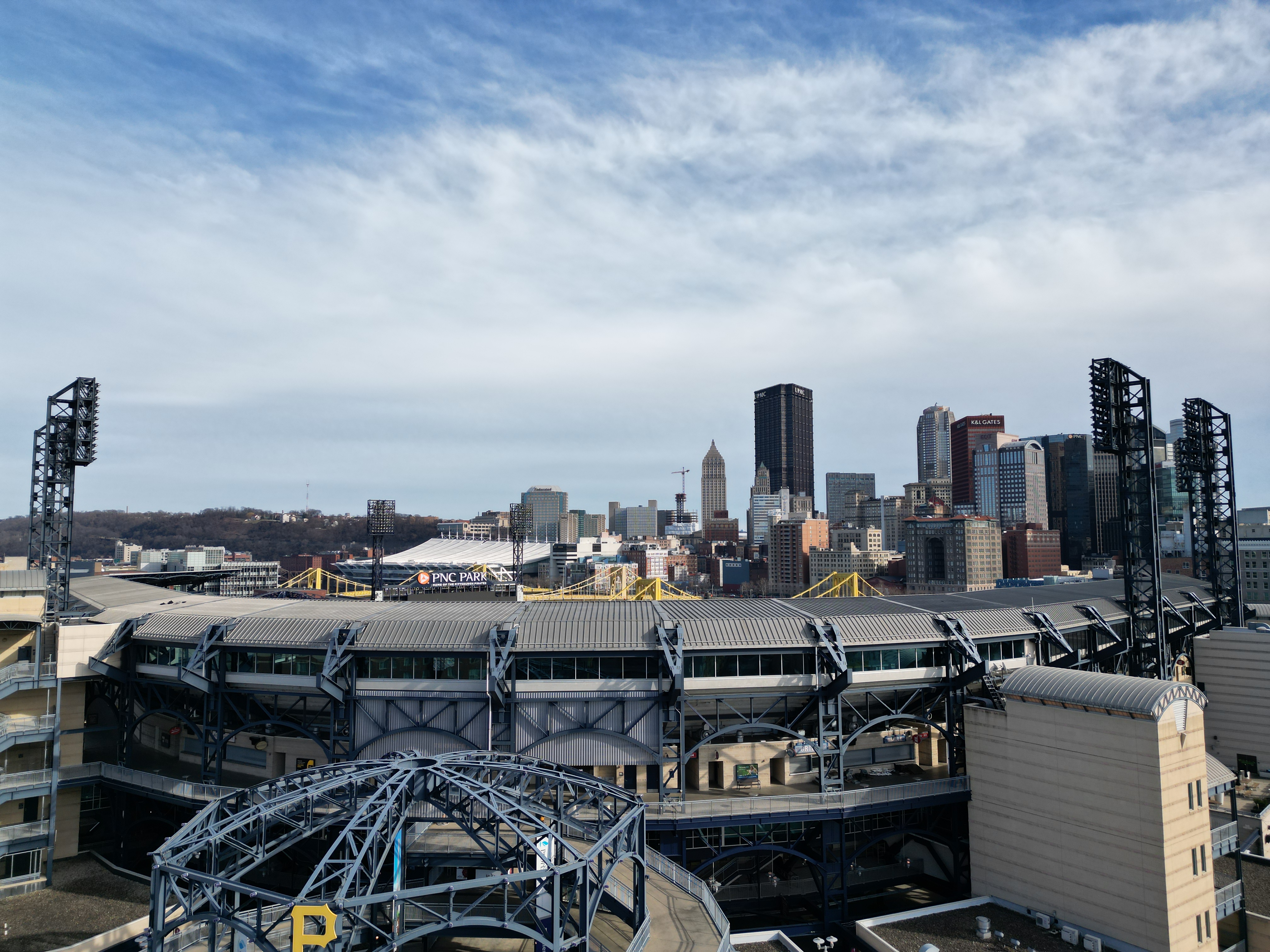
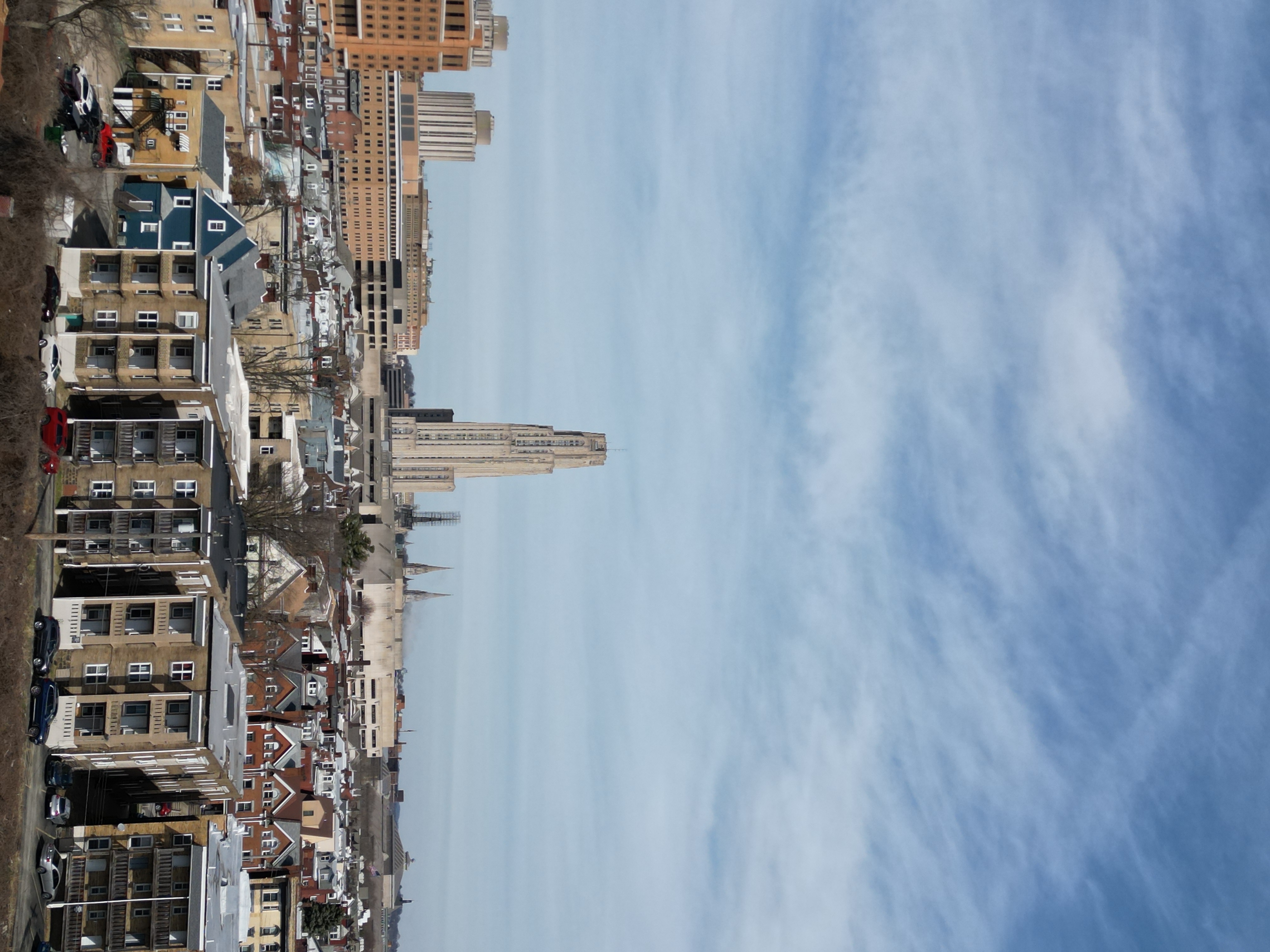
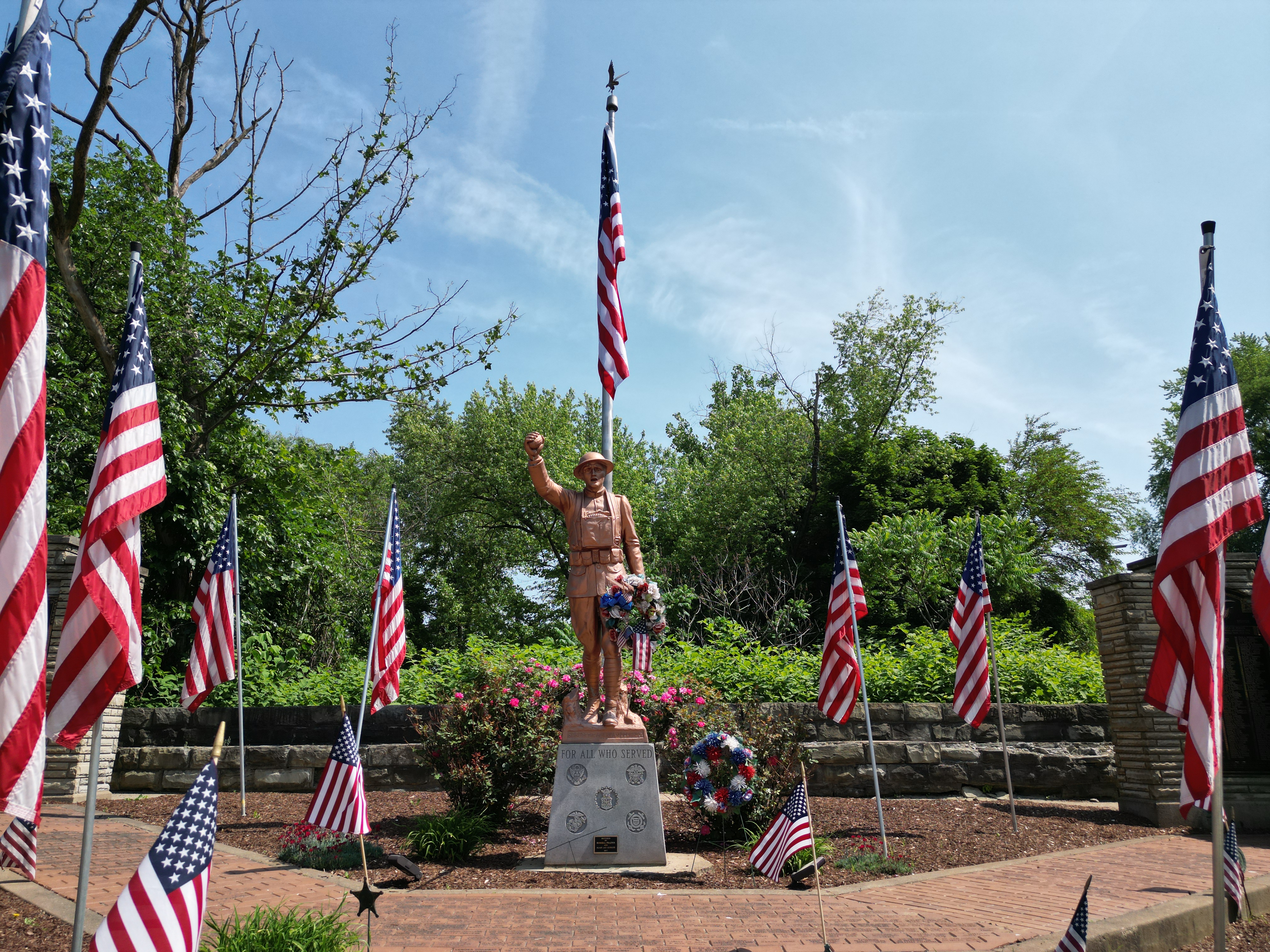
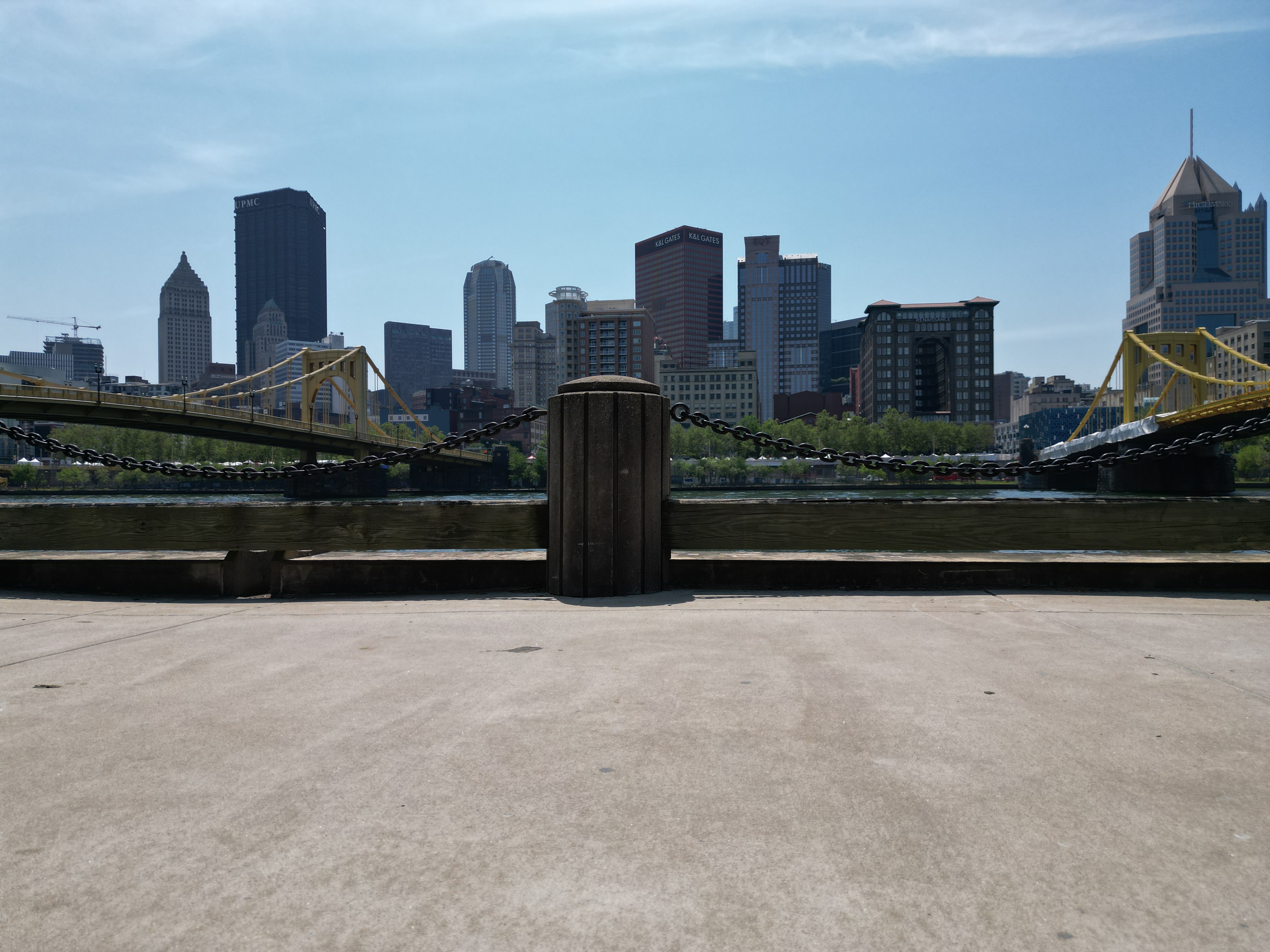
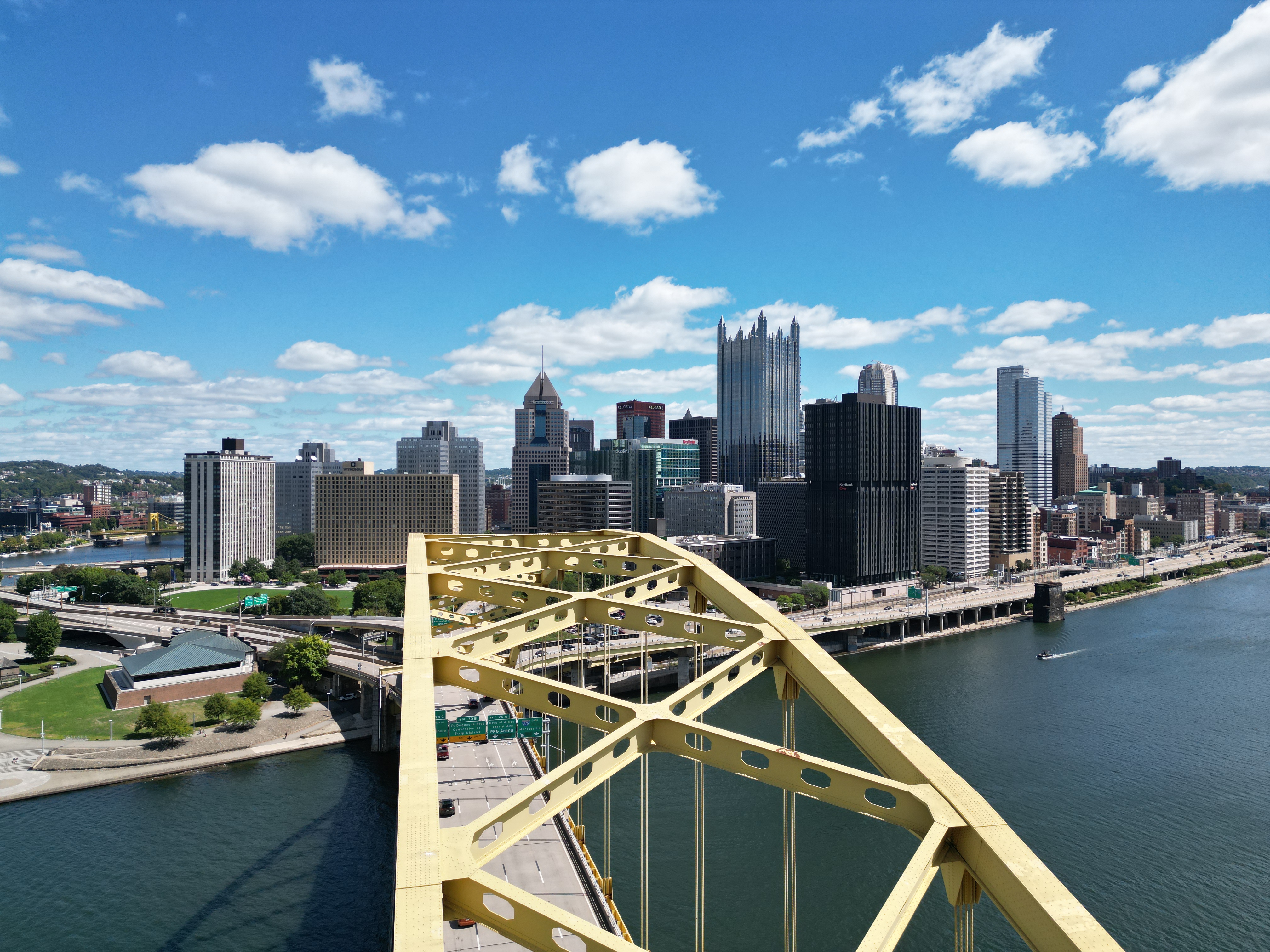
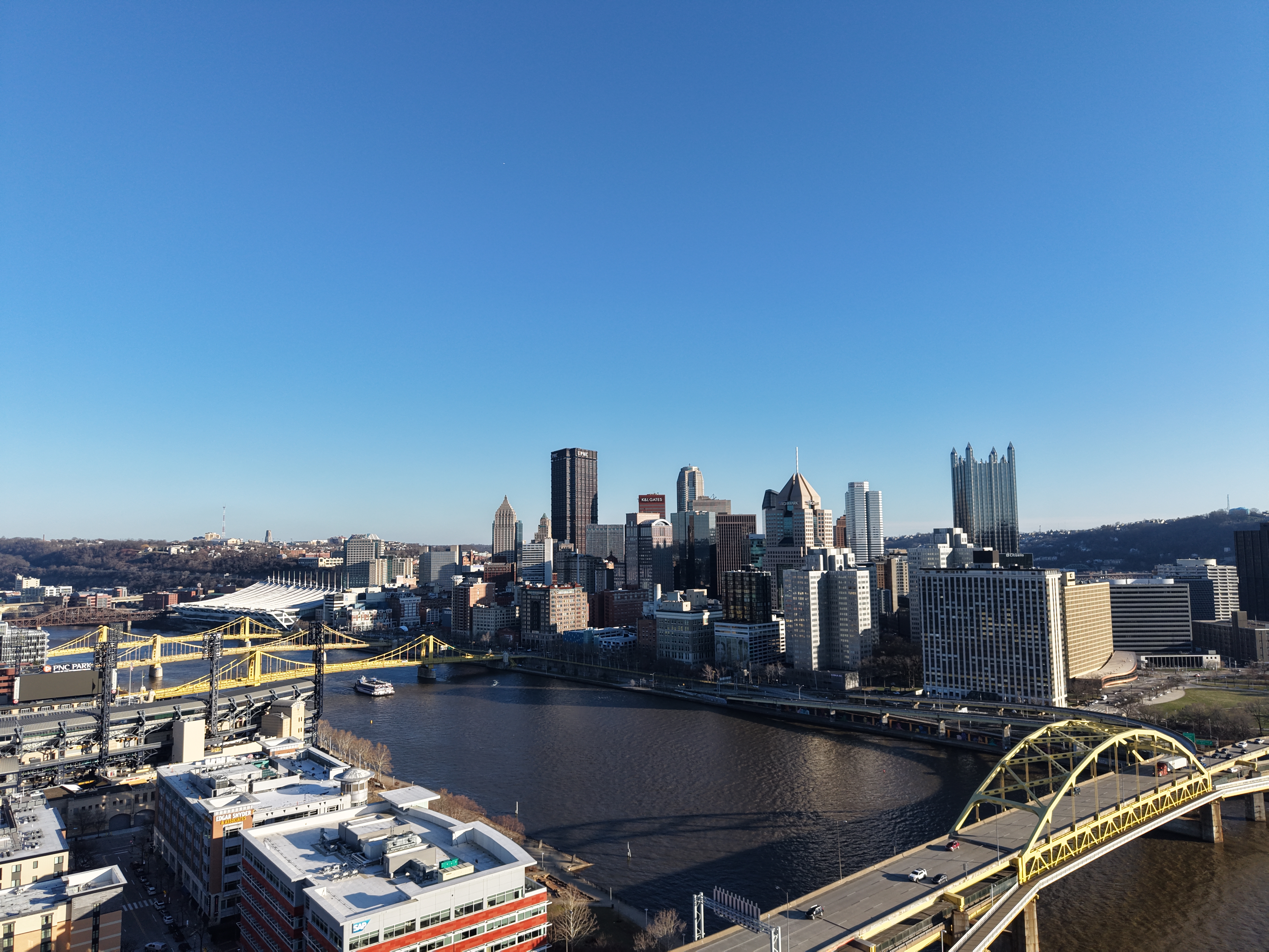
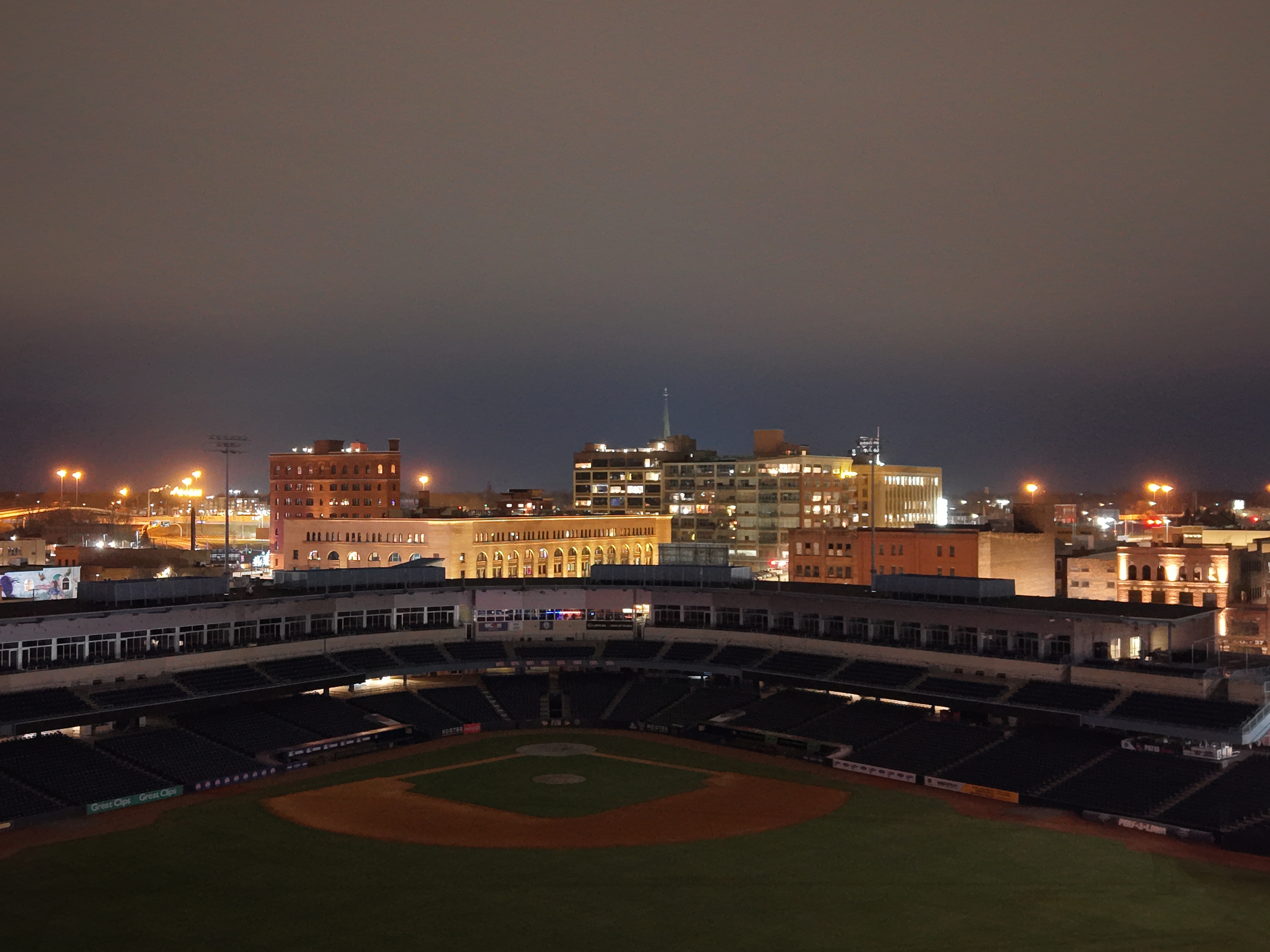
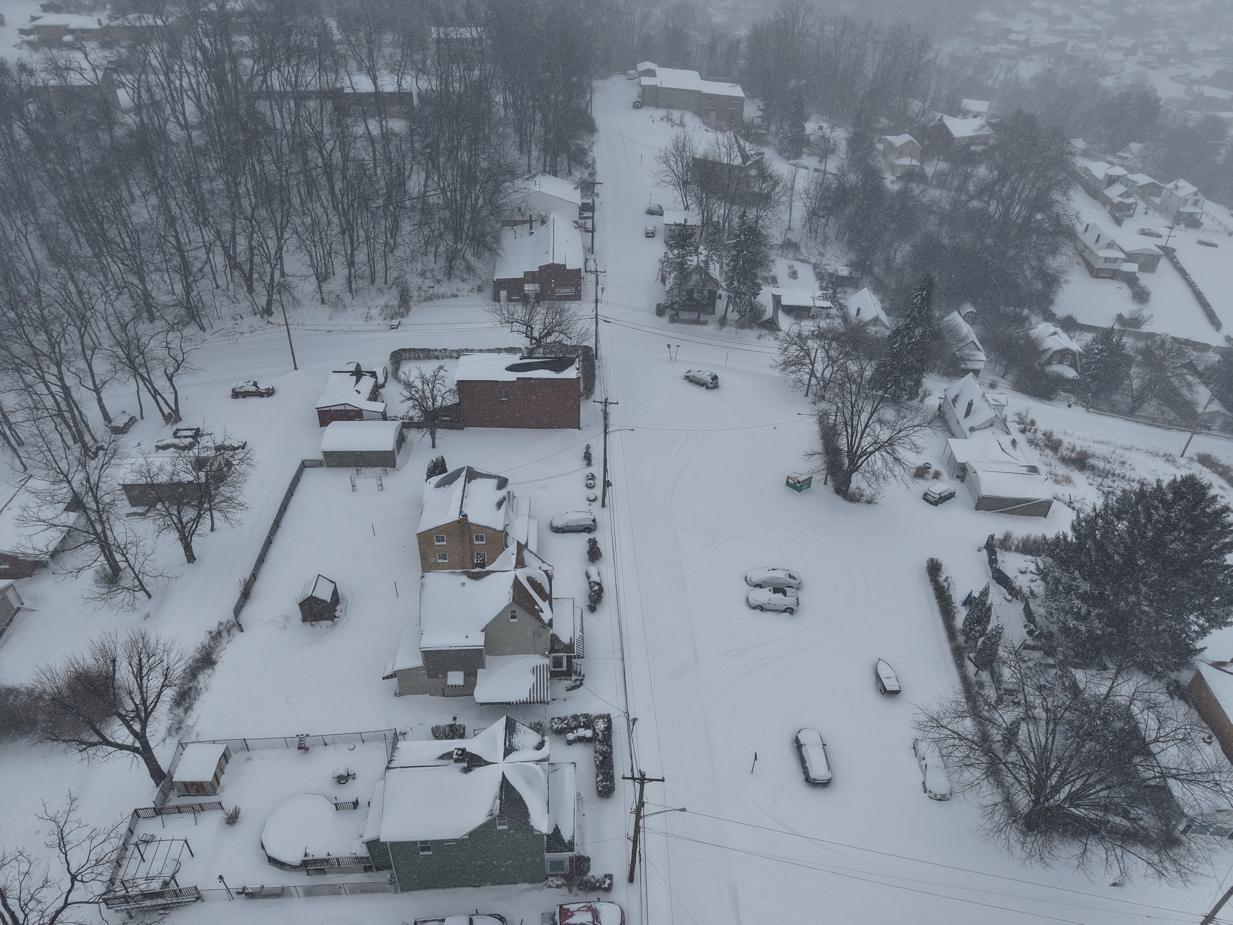
Explore recent aerial photography and flyover coverage for listings, buildings, and site documentation. Select any frame to inspect it in detail.

Aerial hero shot over a residential property at golden hour

Residential Listing Coverage

Aerial hero shot over a residential property at golden hour

High-angle drone still focused on building footprint and surrounding lot lines

Building Footprint Detail

High-angle drone still focused on building footprint and surrounding lot lines

Wide commercial aerial showing surrounding access roads and site context

Commercial Site Context

Wide commercial aerial showing surrounding access roads and site context

Landscape-focused drone composition showing terrain and neighboring property lines

Terrain And Boundary View

Landscape-focused drone composition showing terrain and neighboring property lines

Development progress image captured from an elevated oblique angle

Development Progress Tracking

Development progress image captured from an elevated oblique angle

Cardinal-direction imaging frame used for inspection and documentation work

Inspection Imaging

Cardinal-direction imaging frame used for inspection and documentation work

Twilight drone image used for premium marketing and listing presentations

Twilight Marketing Capture

Twilight drone image used for premium marketing and listing presentations

Recent aerial documentation project with clear view of structures and lot orientation

Latest Coverage Sample

Recent aerial documentation project with clear view of structures and lot orientation

Request a Drone Quote

Tell us what needs to be captured and what the turnaround looks like. We'll reply with availability, coverage recommendations, and final pricing.